What is lake-effect snow, and how is it different from regular flurries?
When the air is cold, it can cause clouds to form above lakes, and these clouds can create heavy snowfall.
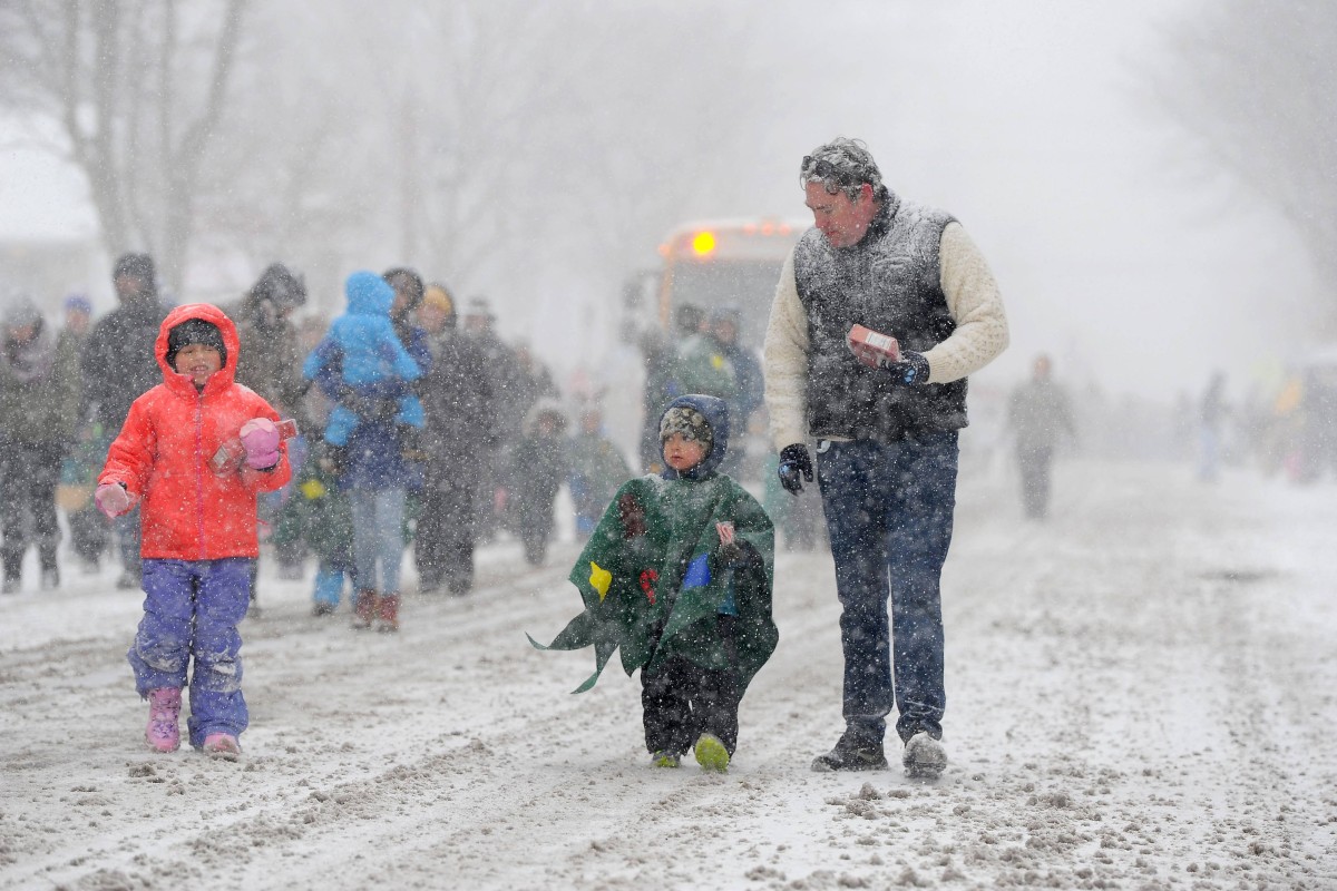
 A November 2024 snowstorm in New York closed down a 145km stretch of highway and dumped copious amounts of snow on the region. Photo: AFP
In early December, towns in the United States along the five Great Lakes were buried in snow. Parts of upstate New York, Pennsylvania, Ohio and Michigan saw nearly 1.2 metres of lake-effect snow.
This has inspired weather experts to start talking about the “lake effect”.
Lake-effect snow often occurs in narrow areas of land. It can dump a lot of snow on one area while leaving another place nearby untouched.
Many people think lake-effect snow is caused by moisture from the lakes. However, it is actually from the cold air that blows over them (see graphic).
“It’s a common misconception that the lakes are a tremendous source of moisture,” said Phillip Pandolfo, a meteorologist at the National Weather Service.
“In practice, we actually need the air to have enough moisture before it starts going over the lakes.”
Clouds form, snow falls
The lake effect begins when cold air blows over the lakes’ warmer waters. Warming air from the lakes pushes the cold air’s moisture to a spot in the sky that creates snow clouds.
This could bring “some really intense snowfall rates,” Pandolfo said.
This could create thin bands of clouds that produce heavy snowfall – 5cm to 8cm per hour or more. Since the bands are thin, towns near each other could get very different amounts of snow. It can be difficult to predict where lake-effect snow will fall because changes in wind direction affect where the snow falls.
Heavy snow is common near the Great Lakes
Lake-effect snow is common when you live near a Great Lake. In many cases, 30cm to 61cm of snow will fall.
The Great Lakes refer to five large lakes located in eastern North America. They are Lakes Superior, Michigan, Huron, Erie and Ontario. Together, they cover an area of about 245,660 sq km. They form the largest connected area of fresh water on Earth.
The Great Lakes affect the climate of the areas around them. They absorb heat in the summer and release it in the winter. As a result, the land closest to the lakes has cooler summers and warmer winters than areas farther away.
What is the difference between lake-effect snow and regular snow?
Regular snow forms when water vapour in the atmosphere cools and forms ice crystals. Snow can fall anywhere in the world where the temperature is cold enough.
Lake-effect snow usually happens near large lakes. This snowfall can last several days and is much more intense than regular snow.
Lake-effect snow can be dangerous for drivers because the weather can change quickly. It may be clear in one area, but just a few kilometres away, there could be heavy snow that makes it tough for drivers to see the road.