Taal Volcano: Where is it located, how was it formed, and what causes its eruptions?
Published:
Listen to this article
Find out in this map of the 'Ring of Fire' in the Pacific Ocean and infographic about tectonic plates
Young Post Reporter |
Published:

Young Post reporters cover the stories and issues that matter most to today’s teens.
Comment
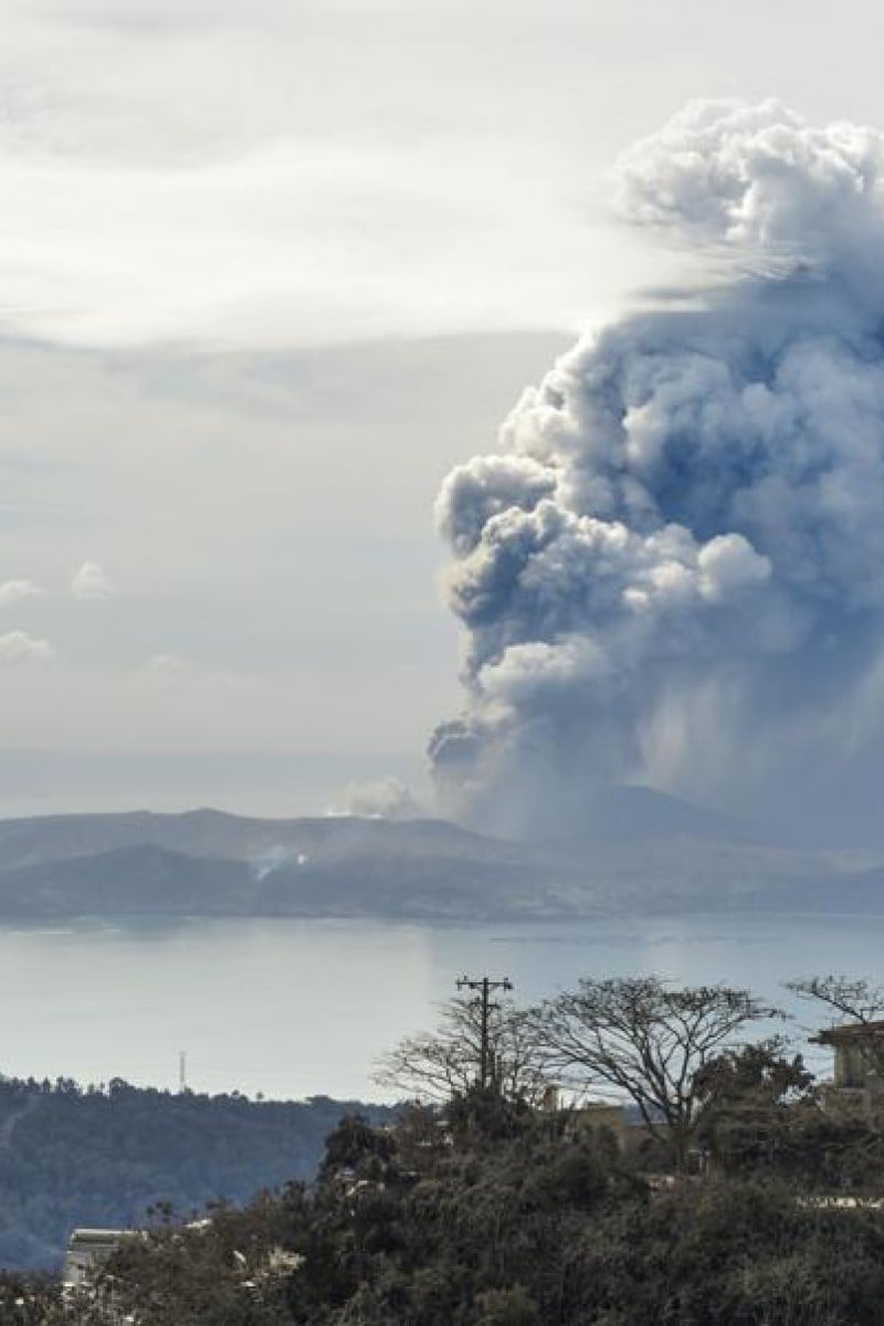
 Photo taken on January 13, in Tagaytay, south of Manila, shows fumes billowing from Taal volcano following an eruption the previous day.
Taal Volcano erupted on January 12, causing multiple earthquakes, lava fountains and a huge lightning-flecked cloud, as clouds of ash were blown as far as 65km north to Manila, the capital of the Philippines.
The Philippine Institute of Volcanology and Seismology has announced a Alert Level 4, indicating “a hazardous explosion within hours or days”. It has also urged the evacuation of areas within 14km of the volcano.
The graphic below shows how the movement of the Earth's tectonic plates causes volcanoes to be formed, and what triggers a volcanic eruption.
Graphic: Doris Wai/SCMP
Sign up for the YP Teachers Newsletter
Get updates for teachers sent directly to your inbox
By registering, you agree to our T&C and Privacy Policy
Comment
Young Post reporters cover the stories and issues that matter most to today’s teens.
Sign up for YP Weekly
Get updates sent directly to your inbox
By registering, you agree to our T&C and Privacy Policy