Earthquakes shake Tajikistan, near border with China
- Epicentre of the strongest earthquake was in a remote eastern part of Tajikistan, closer to the border with China
- Tajikistan, like much of the rest of Central Asia, is prone to natural disasters and has a history of floods, earthquakes, landslides

A series of earthquakes shook Tajikistan on Thursday morning, near China’s far western Xinjiang region.
The US Geological Survey said the strongest earthquake’s magnitude was 6.8, while the China Earthquake Networks Centre reported it was 7.2, according to Chinese state television CCTV.
Preliminary seismic measurements by different agencies often differ.
A 5.0-magnitude aftershock hit the area about 20 minutes after the initial quake, followed by a 4.6-magnitude quake.
The first quake struck around 5.37am local time at a depth of about 20.5km (12.7 miles).
There were no immediate reports of casualties. The USGS estimated that “little or no population” would be exposed to landslides from the biggest quake.
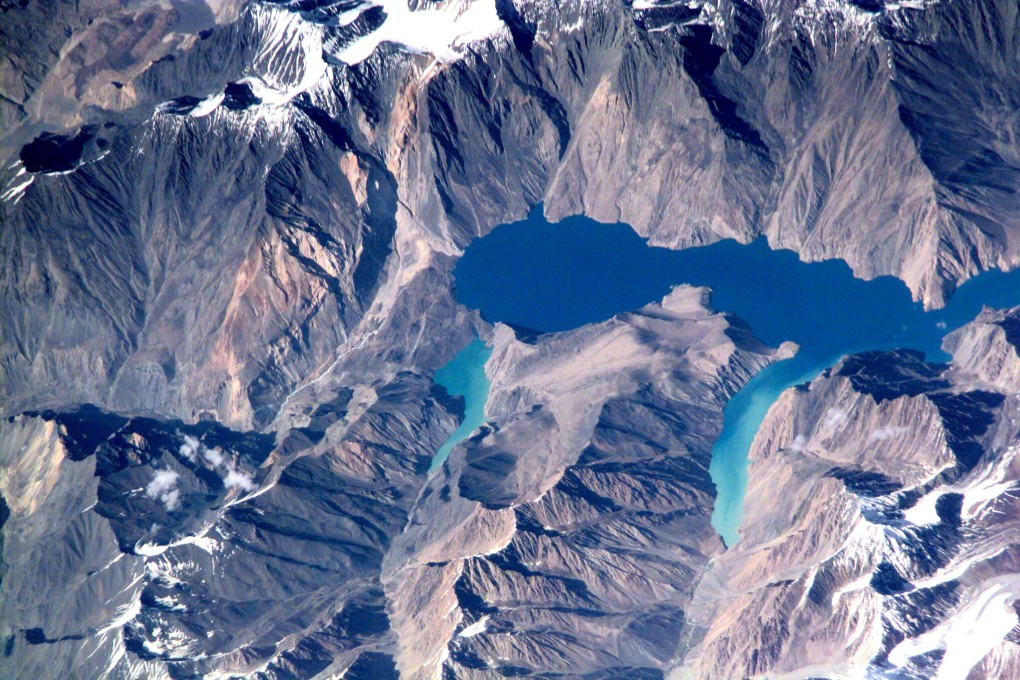
Its epicentre appeared to be in Gorno-Badakhshan, a semi-autonomous eastern region that borders Afghanistan and China, about 67km from the small mountain town of Murghob. The quake was strongly felt in Kashgar and Artux in the western part of China’s Xinjiang region, CCTV reported.