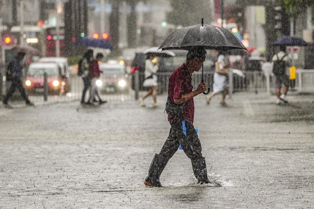
Hong Kong issues No 1 typhoon signal as tropical depression intensifies
Forecaster raises signal at 2.20pm on Wednesday, says it will remain in force throughout day

Hong Kong’s weather forecaster has issued the No 1 typhoon warning signal, as an area of low pressure over South China Sea intensifies into a tropical depression.
The Hong Kong Observatory raised the signal at 2.20pm on Wednesday and said that unsettled weather would affect the city. The warning is expected to remain in force throughout the day.
“The tropical depression will maintain a distance of about 400km (249 miles) or more from Hong Kong on [Wednesday] and [Thursday],” it said.
“Unless the tropical depression adopts a track closer to the Pearl River Estuary or intensifies significantly, the chance of generally strong winds over the area will be relatively low.”
The forecaster added that the broad area of low pressure over the central and northern parts of the South China Sea was expected to move closer to Western Guangdong and Hainan Island between Wednesday and Thursday.