Hong Kong’s Cathay Pacific keeps eye on looming storm Ragasa as T3 remains in force
Tropical Storm Mitag makes landfall, with the No 3 typhoon signal remaining in force overnight

A potential super typhoon next week has prompted Hong Kong flag carrier Cathay Pacific Airways to prepare for operational adjustments, while an existing storm made landfall on Friday afternoon, with the No 3 warning signal remaining in force overnight.
The No 3 typhoon signal, issued by the Hong Kong Observatory at 9.20am, is expected to remain in force until 9am on Saturday, with Tropical Storm Mitag reaching the coast of eastern Guangdong on Friday afternoon.
Kindergarten classes and schools for children with physical and intellectual disabilities were suspended on Friday because of the No 3 signal and would remain so on Saturday, due to Mitag.
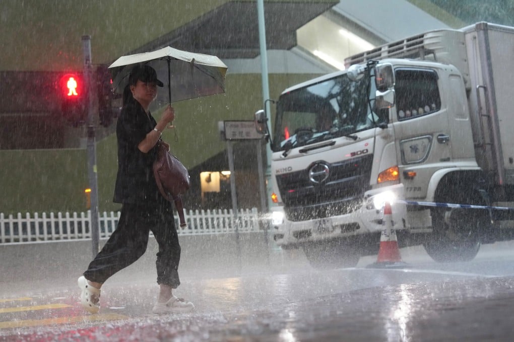
The Observatory said Mitag’s outer rainbands would bring a few squally showers, which would be heavy at times, and thunderstorms to the city.
The forecaster said Mitag – a woman’s name from Micronesia meaning “my eyes” in the Yapese language – made landfall near Shanwei at 4.15pm.